Our Projects
Delivering marine science impact across Gulf Province and coastal Papua New Guinea.
Project Portfolio
Maritime Access Preparation
A foundational infrastructure project to enable maritime access for the Uritai Village community, supporting sustainable fisheries trade and economic development in the Kerema District.
Scope of Work
- Navigable channel inlet cutting for future jetty construction
- Supporting the East Kerema trial fish buying initiative
- Hydrographic surveys & sediment management protocols
Province
Gulf Province
Location
Uritai Village, Kerema District
Budget
PGK 100,000
Status
Active
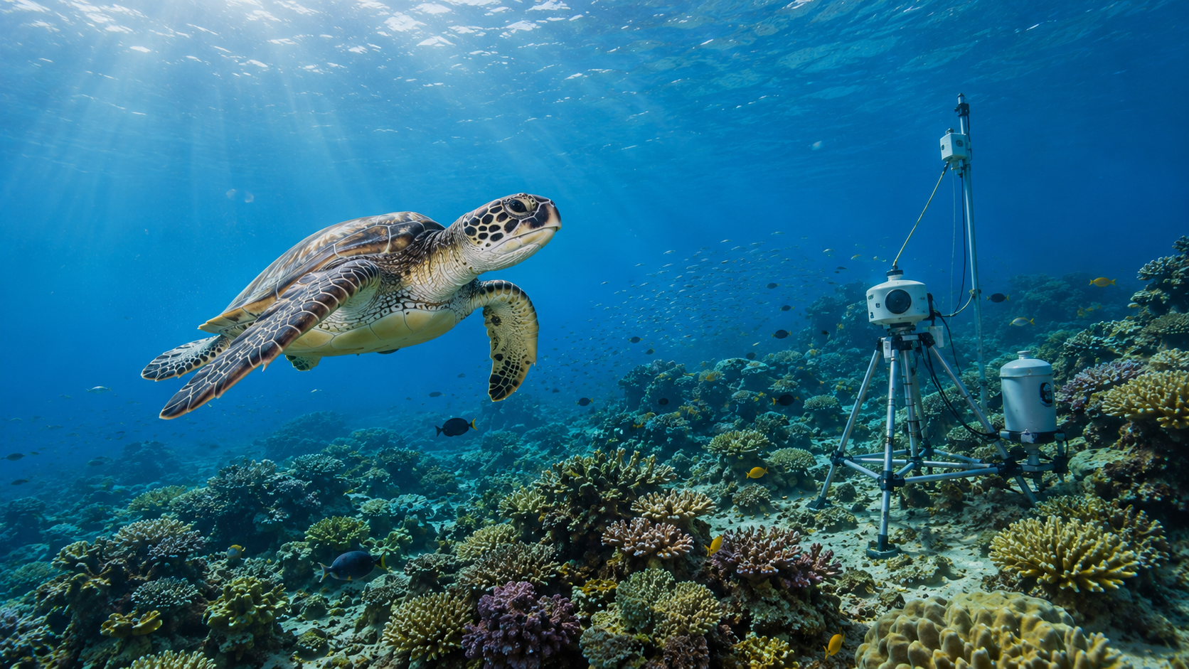
Gulf Province Marine Resource Mapping & Assessment
Comprehensive Biological and Socio-Economic Fisheries Analysis — a province-wide GIS-based resource mapping combining fish stock assessments, habitat health monitoring, and community livelihood analysis. Field operations employ non-invasive sampling techniques while community engagement integrates traditional ecological knowledge, establishing scientific baselines for sustainable fisheries management.
Scope of Work
- Large-scale GIS-based resource mapping across Gulf Province
- Fish stock assessments, habitat health monitoring & biodiversity indexing
- Community livelihood analysis with traditional ecological knowledge integration
- Non-invasive sampling with seasonal scheduling to avoid breeding periods
- Water quality & biological laboratory analysis
- Scientific baselines aligned with National Fisheries Authority standards
Province
Gulf Province
Location
Gulf Province (Province-wide)
Budget
To Be Determined
Status
Pipeline
Scope & Status Overview

Ready to Advance PNG’s Blue Economy?
Partner with Papua New Guinea’s premier marine science consultancy for evidence-based, community-centred fisheries management.